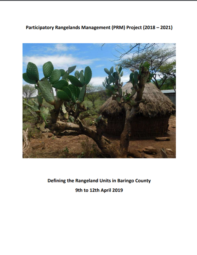
Defining Rangeland Management Unit and institution is a critical participatory process of identifying the appropriate management body as well as rangeland area for piloting of PRM for optimal results and benefits. The identification and definition of the rangelands units for Baringo County was conducted on 9th -12th April 2019. The activity was mainly implemented in the four project areas; Koitegan in Mogotio Sub-county, Kabarion in Baringo North, Irong in Baringo South and Paka Hills in Tiaty. The exercise brought together the Community members, Members of the Technical Working Group(TWG), the Area Chiefs, Sub-County Environmental Officers, Ward Administrators, chief Wardens and RECONCILE staff. The activity was able to reach out to 284 people (Male – 185; Female 99) with key decisions made. The main issues arrived at during this exercise include; defining of the rangeland unit, identifying a group of 15 members who would participate in resource mapping and initiating discussions on the body/entity to manage the rangeland units and agreeing with the Paka Community on how to refer to them and their rangeland. The Paka Community was comfortable being referred to as
the “Paka rangelands”.

